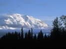
President Donald Trump's executive orders to restore names such as Fort Bragg and Mount McKinley are being used as political tools to reinforce the "American greatness" narrative and counter what he perceives as "woke culture," according to Seth Kannarr, PhD candidate in geography at the University of Tennessee. Now, teachers face challenges in adapting to new place names and the cultural debates over identity, heritage and the psychological impact of place names on communities.
The British Antarctic Survey has released Bedmap3, the most detailed map of Antarctica's subglacial landscape, incorporating more than six decades of data to show the topography beneath the ice in unprecedented detail. The map reveals a large amount of ice is below sea level, posing a greater risk of melting from warm seawater, and identifies the thickest ice in a Wilkes Land canyon.
Global population data is facing a crisis as census response rates decline, leading to significant undercounts in the US, Paraguay and South America, particularly among minorities and rural communities. This trend, driven by eroding trust in government and logistical challenges from the COVID-19 pandemic, results in inadequate resource allocation. "When people vanish from data, they vanish from policy," write Andrew Tatem, WorldPop director and Jessica Espey, associate professor of geography and environmental studies.
Use your background in geophysics to begin or progress your GIS career. Incorporate GIS into your geophysics career to expand your impact. Get a best-in-class education at the USC Dornsife Spatial Sciences Institute. Choose from GIS master's programs and graduate certificates. Learn about graduate studies at USC. Learn More
Global warming has exposed 1,620 kilometers of new coastline in Greenland from 2000 to 2020, according to a study by geographers, polar ecologists and marine scientists in the journal Nature Climate Change. Using satellite imagery, the researchers found that 66% of the newly exposed coastline in the Northern Hemisphere is in Greenland. The melting also revealed 35 islands, 29 of which are in Greenland, potentially leading to geopolitical interest due to unclaimed territories.
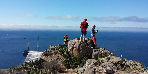
The Wildfire Career and Networking Panel at California State University, Northridge, highlighted diverse career paths in agriculture and geography, particularly through organizations like CAL FIRE, which offers roles in urban forestry and environmental science. Students were encouraged to explore these fields as viable options for making a difference in environmental sustainability.
Microsoft, Planet Labs and The Nature Conservancy have created Global Renewables Watch, a living atlas using AI and satellite imagery to map utility-scale solar and wind installations worldwide. The project helps track the growth of renewables and has reported a three-fold uptick in solar land coverage since its launch. "You can't manage what you can't measure, so by combining Microsoft's AI and cloud computing capabilities, Planet's comprehensive and high-resolution satellite imagery and The Nature Conservancy's deep subject-matter expertise, we hope to build a powerful platform for surfacing -- and democratising access to -- renewable energy data," said Will Marshall of Planet Labs.
Thank you for being a loyal reader of AAG SmartBrief. We have enjoyed sharing the latest news and information for geographers. Our last issue of this news brief will be March 27. We hope this resource kept you informed about the most important developments affecting your profession. Make sure your membership is up to date to receive the latest news from the association.
The Annals of the American Association of Geographers seeks contributions for a special issue on the topic of Social-Ecological Crises and Possibilities that engage with the broad theme of crisis and possibility. Abstracts of no more than 250 words should be submitted by March 31, 2025. The Editor will consider all abstracts by June 2, 2025, and invite a selection to submit full papers for peer review.